Lives of Scripture
Map explorer
Our own maps of the biblical world — drawn from public-domain Natural Earth geometry, with no modern country labels or borders, and places plotted from OpenBible.info coordinates. Every map here is free to reuse with no copyright claimed and no attribution required. Pick a base style and extent, load a preset group, then click any place to see its details and open its page, or use Add to selection to build your own map and copy a link to it. Preset groups that follow a route — Abraham's journey to Canaan, the Exodus, Paul's missionary journeys — can overlay each route as arrows, switched on and off one at a time.
This map is free to reuse — no copyright is claimed on it. Base geometry from Natural Earth (public domain); place identifications from OpenBible.info (CC BY 4.0).
Download a blank Bible map
Every base map on this page is also a standalone file you can download and
use anywhere — a lesson handout, a slide, a printed study guide. They carry
no modern country labels or borders, and no copyright is claimed
on them: reuse, edit, and redistribute freely, no attribution required. Geometry is public-domain
Natural Earth data; the SVGs are theme-aware and
scale to any size. The Terrain SVG expects its matching relief-*.jpg alongside it.
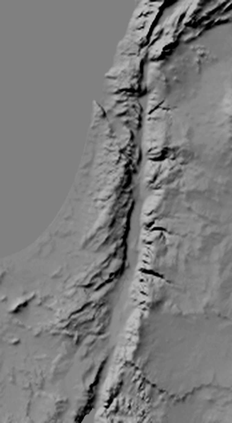
The Holy Land (760 × 1385px)
Dan to Beersheba, coast to the Jordan
- Parchment — SVG 6 KB
- Plain — SVG 6 KB
- Terrain — SVG 6 KB
- Shaded relief — JPEG 71 KB



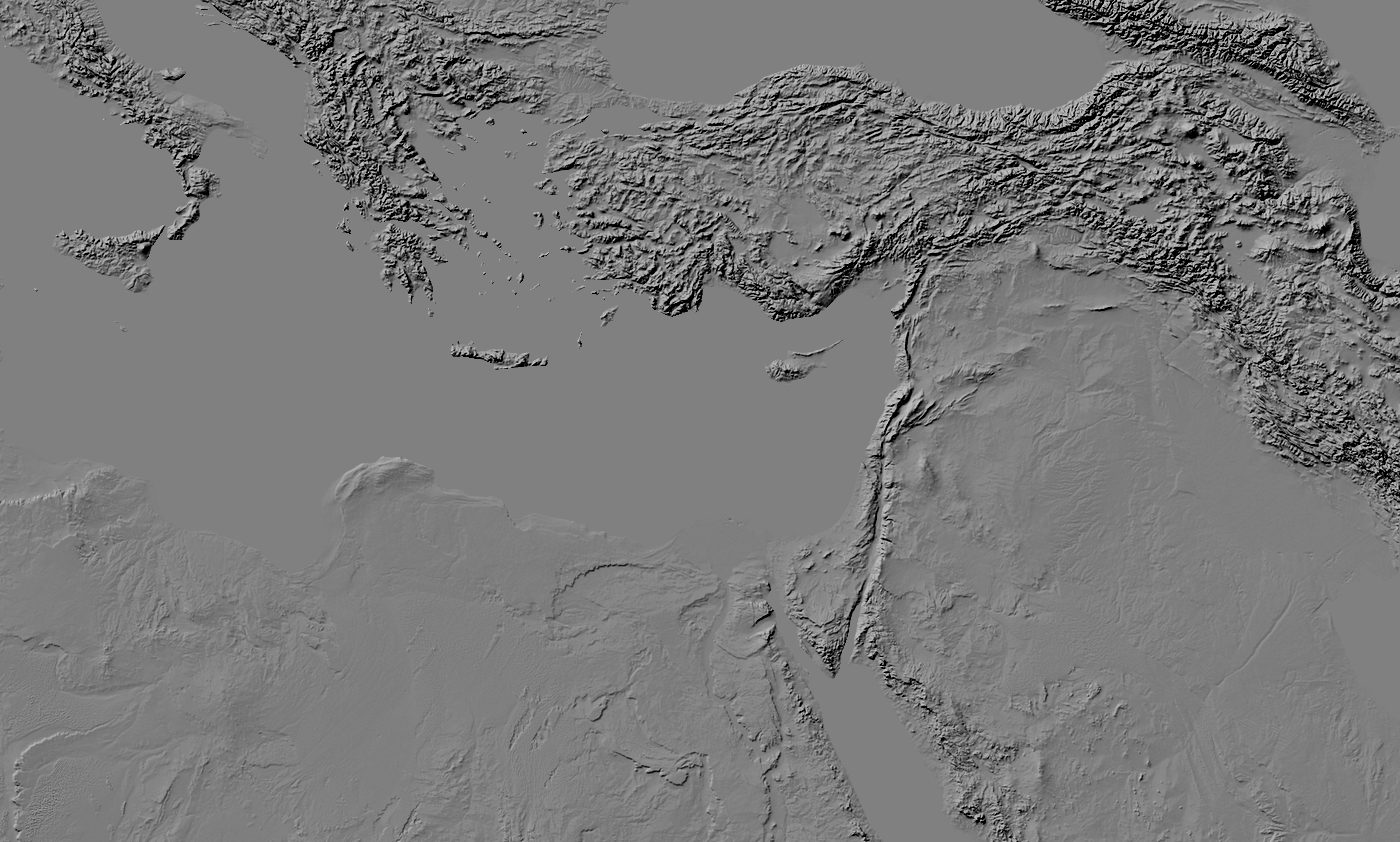
The Biblical World (1400 × 842px)
Rome and Egypt across to Susa
- Parchment — SVG 29 KB
- Plain — SVG 29 KB
- Terrain — SVG 29 KB
- Shaded relief — JPEG 211 KB